Alfreton and District Rambling Club
Webmaster (WM) for this page is Mats Lilja. [email protected]. Any information to be posted, please contact the WM. Also contact the WM for information, or to leave comments and praise. Constructive criticism is welcome and will be addressed by the committee. It will generally take 1-2 days to update the page.
About us
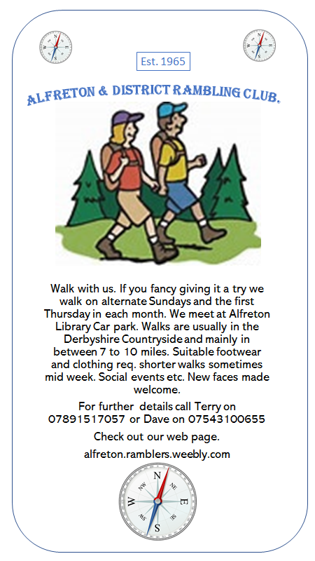
Welcome to the Website of Alfreton and District Rambling Club.
Our club arranges walks, generally every other Sunday. We start at 9.30a.m. and we meet in the car park below Alfreton library and behind the bus station, unless otherwise stated. (See map below). We usually travel by car to the starting point, and try to use as few vehicles as possible. Sometimes we travel by bus or train. We walk between 5-9 miles, nearly always in the Derbyshire countryside. Shorter walks, midweek walks and weekends away are also arranged. We walk at a leisurely pace and stop for coffee and lunch (bring a drink and lunch). We are generally back in Alfreton by late afternoon.
Bring a drink and something to eat. Suitable clothing and footwear is essential.
Walkers are welcome to bring dogs provided they are taken in the owner's car and they respect the country code.
We walk together to provide comfort and safety, but according to our constitution you are ultimately responsible for your own safety.
You are welcome to join us for a walk a few times, before you choose to become a member. The annual membership fee is only £6.
Alfreton Rambling Club has now been going since 1965. We need to be encouraging younger people to get involved for it to carry on being a success. We are short of younger members who are willing to lead walks. Whilst we appreciate not everyone wants to lead a walk, we don't have many non-retired members who do this. Of course everyone is very welcome just to walk with us.
Anyone who would like to become involved in leading any walks would be greatly appreciated.
We have a good,enthusiatic, sociable group at present but for the club to continue we must think of the future.
Any thoughts and ideas from others would be appreciated.
A & D R Club.
__________________________________________________
Over the rolling hills of Derbyshire
Alfreton & District Rambling Club Programme
Sunday
Walk leader - information.
The leader of the walk should inform the Web Master in good time of date, time, length, and with a short description of the walk. A risk assessment is always made and is available on request. We meet at the library car park or the designated starting point. A grid reference point will be given.
A & D R Club.
The club is struggling for walk leaders at present.
The next rambling dates are
Sunday 31st. March. April 14th . April 28th.
May 12th I’m not available for any of these dates.
May 12th is the date for the sponsored walk for Alfreton Football Club so I’m not available for a walk on that date. All our members are welcome to join us on that walk, details will be out later.
Also Thursday 4th April would be a rambling day.
Vince is offering to lead a Bluebell Walk later in April or early May, so for various reasons we’re struggling for leaders . If anyone would like to help out it will be great.
You should now have you invitation to. AGM so hopefully we may be able to have a chat about the way forward
Terry O.
Date place length leader time
The club also arrange holidays away and some social activities.
AN IDEA FOR THE FUTURE.
Alfreton & District Rambling Club would like to welcome people who would like to meet up with us with the view of possibly taking on some walks which may be of a more challenging nature than the ones we do now.
As the club has now been going more than 50 years, being established in 1965 some of our present members have been walking with the club for many years.
We also have a social side and also take a couple of breaks away each year.
We have a good selection of maps which are available for members to borrow.
If some younger walkers would like to get involved with us and like to have a chat about new walks and ideas please feel free to contact committee members .
You can contact either Dave or Terry on the contact no's on our web page or e mail us. https://alfretonramblers.weebly.com/
Our web page address is https://alfretonramblers.weebly.com/
We could arrange to meet up with you possibly over a beer or a coffee somewhere.
It would be good to think that the club could continue to operate in many years to follow.
We now only walk on alternate Sunday's and on the first Thursday in each month.
Terry O.
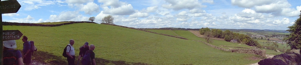
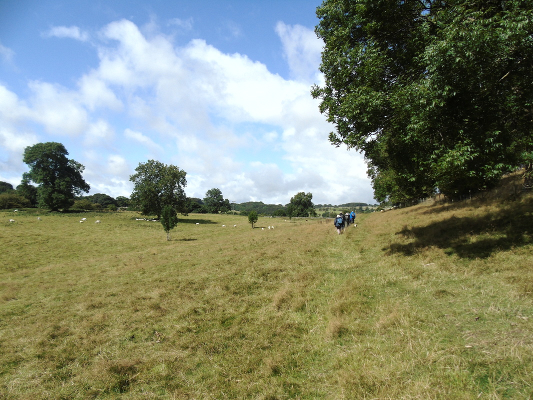
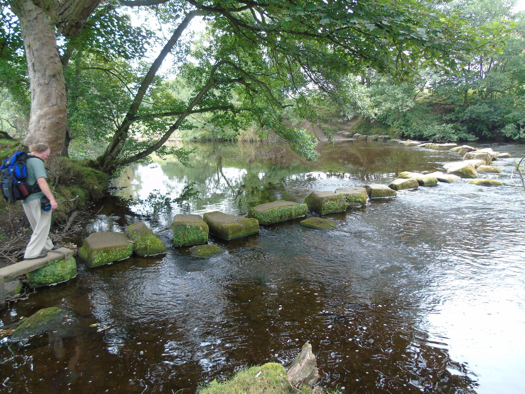
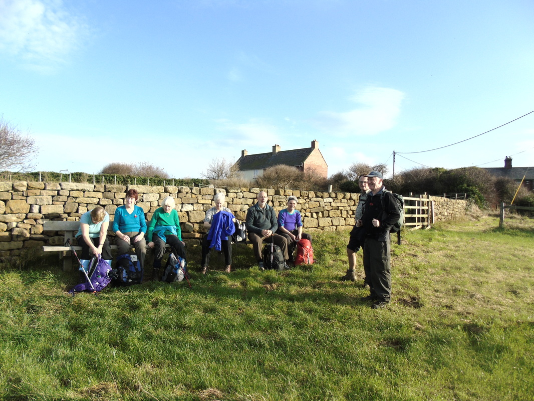
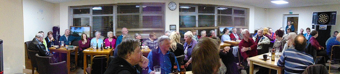
A few memories! Click on picture for larger version.
Slideshow
Pictures from previous walks. Everyone is welcome to add photos. Send them to the WM, with a caption if possible.
.
Pictures from previous walks. Everyone is welcome to add photos. Send them to the WM, with a caption if possible.
.
Contact
If you would like to find out more about our club, please contact one of the following members.
If you would like to find out more about our club, please contact one of the following members.

Dave
|

|
MAP
|
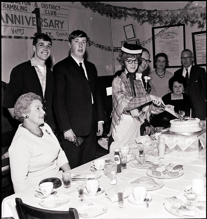
50th celebration in January 2016
Our logo 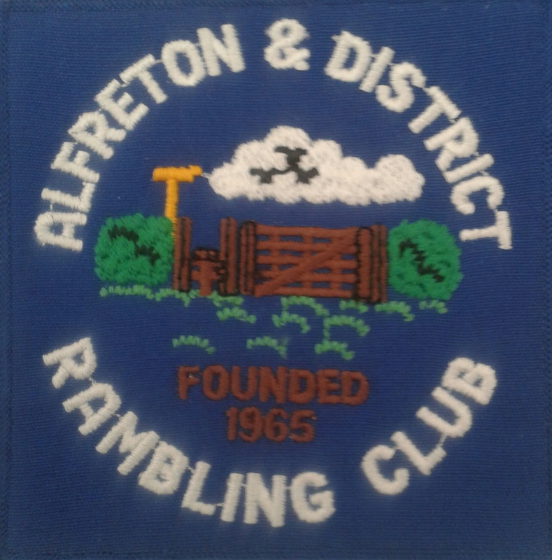
All photos copyright of Alfreton and District Rambling Club.
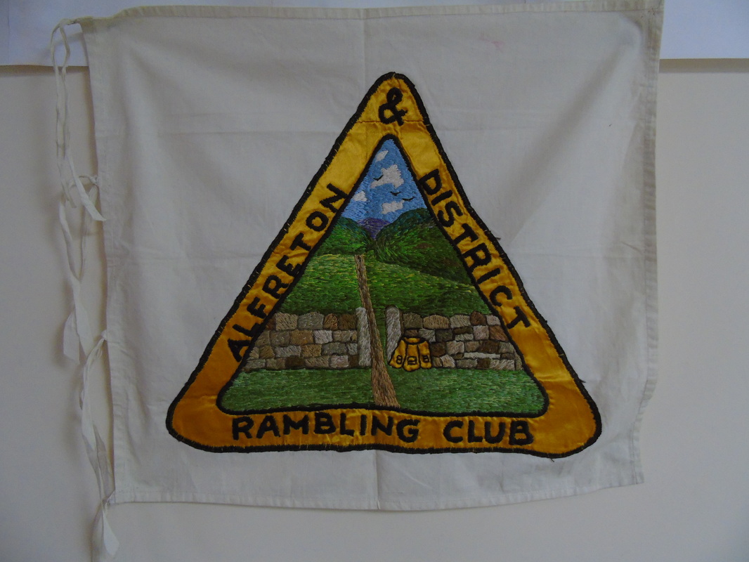
The flag
|
A & D R Club.
Maps available to club members. 2019
Map Number Area
-----------------------------------------------------------------------------------------------
EXP 289 Leeds & Harrogate
EXP OL17 Snowdon/Conwy Valley
EXP OL 24 Peak District White Peak Area
EXP 217 The Long Mynd& Wenlock Edge
EXP 259 Derby, Uttoxeter& Cheadle
EXP 268 Wilmslow/Macclesfield & Congleton
EXP 279 Doncaster
EXP 260 Nottingham/ Vale of Belvoir
EXP 213 Aberystwyth & Cwm Rheidol
EXP 315 Carlisle
EXP 316 Newcastle upon Tyne, Gateshead ,Sth Shields,
Prudhoe, Ponteland, Cramlington & Whitley Bay.
(Part of Hadrians Wall)
OL 4/5/6/7 English Lakes (all areas)
OL 17 Snowdon & Conway Valley
OL 21 South Pennines
OL 26 North Yorks Moors (West)
OL 27 North Yorks Moors ( East)
OL 43 Hadrians Wall, Haltwhistle & Hexham
PATH 1089 Gloucester
PATH 1113 Stroud
PATH 744 Chester (East)
PATH 760L Chesterfield ( Laminated)
PATH 794L Crich & Bullbridge (Laminated)
PATH 780 Ollerton ( Notts)
PATH 790 Chester (south) Farndon/ Holt & Tattenhall
PATH 794 Crich & Bullbridge
PATH 812 Nottingham North & Ilkeston
Landranger Maps 1:50 000
51 Loch Tay& Glen Dochart
96 Barrow in Furness& South Lakeland
98 Wensleydale &Upper Wharfedale
99 Northallerton , Ripon & area
103 Blackburn & Burnley
104 Leeds Bradford & Harrogate Area
117 Chester & Wrexham
118 Stoke on Trent & Macclesfield
119 Buxton, Matlock & Dovedale Area (2 Copies)
120 Mansfield, Worksop & Area
121 Lincoln & Area
127 Stafford & Telford
128 Derby & Burton on Trent Area
129 Nottingham & Loughborough Area (2 Copies)
133 North East Norfolk, Cromer & Wroxham
134 Norwich & The Broads 137 Church Stretton & Ludlow
145 Cardigan & Mynydd Preseli
146 Lampeter & Llandovery
149 Hereford, Leominster & Area
150 Worcester, The Malverns & Area 151 Stratford upon Avon & Area
152 Northampton & Milton Keynes Area
153 Bedford & Huntingdon Area
183 Yeovil & Frome
Landranger Ady/Jo’s Scotland map.
Tourist Map 8 Cotswold
Guide Book 1 Snowdonia.
Guide Book 2 North Wales, Snowdon & Offa’s Dyke.
